Gallery: Google Earth finds Atlantis or Atlant-isn't - TechRepublic

Gallery: Google Earth finds Atlantis or Atlant-isn’t

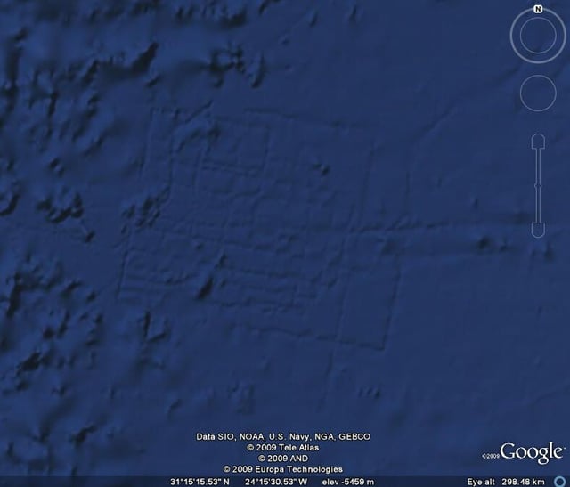
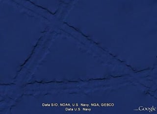
  • Last week, a grid was discovered on Google Earth at coordinates 31 15′15.53N, 24 15′30.53W on the ocean floor 600 miles off the coast of Africa, sparking rumors that spread over the Internet that the ruins of the lost city of Atlantis were found. Or maybe they were plow marks from aliens?\n\n

    Google was quick to discredit the rumor, saying that these lines couldn’t have been from the lost city and were created by “ship tracks.”\n\n

    Credit: Google Earth

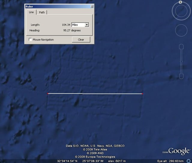
  • First, Google says the image is way to big to be a city. If you use Google Earth’s ruler, the grid is about 104 miles wide.\n\n\n

    Credit: Google Earth

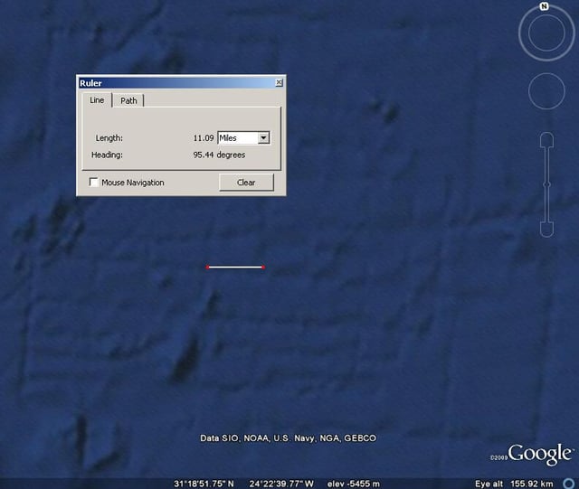
  • This defined “city block” is about 11 miles wide according to the Google Earth measurement tool.\n\n\n

    Credit: Google Earth

  • Google has an explanation of the “ship tracks”: \n\n

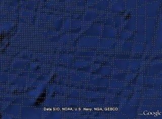
    “By measuring the time it takes for sound to travel from a ship to the sea floor and back, you can get an idea of how far away the sea floor is. Since this process — known as echosounding — only maps a strip of the sea floor under the ship, the maps it produces often show the path the ship took, hence the ship tracks.”\n\n

    The dots indicate the soundings produced in this area.\n\n\n

    Credit: Google

  • Here’s a higher resolution ship track off Hawaii.\n\n

    There’s still a chance of finding Atlantis. Much of the ocean floor has not been mapped – Google estimates the cost would be around $2 billion.\n\n

    Credit: Google

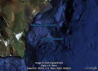
  • Since Ocean in Google Earth was released, searchers have been surprised by discoveries such as an emerging volcanic island off Hawaii called the Loihi Seamount. \n\n\n

    Credit: Google

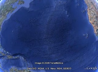
  • The Mid-Atlantic Ridge forms a nearly continuous mountain range that is more than 3,600 miles long.\n\n\n

    Credit: Google

1 of 7