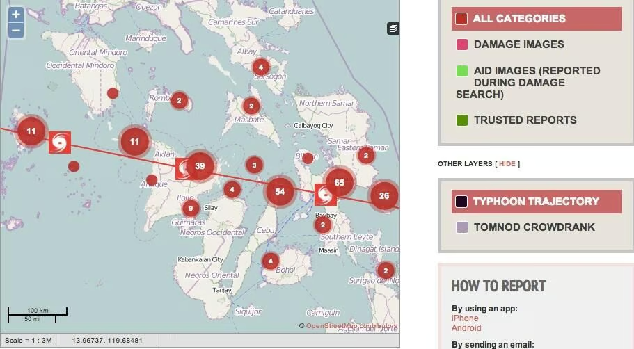
After Typhoon Haiyan hit the Philippines last year, people used Ushahidi to map destruction and disaster relief locations.
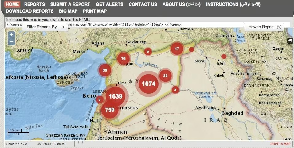
During the Syrian uprising, people used Ushahidi to track locations of violent acts and deaths.
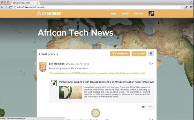
Crowdmap is a hosted site that was created to track events or crises more quickly. Users can update information through texts, Twitter, or the web.
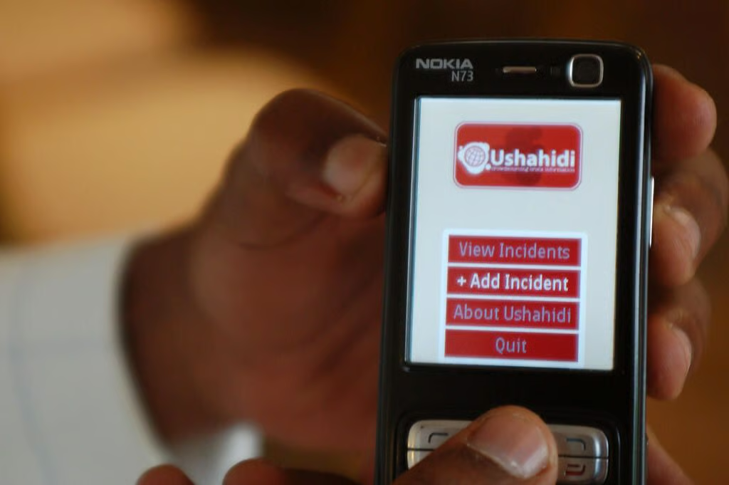
Users can report incidents or upload photos and videos to Ushahidi using mobile devices.
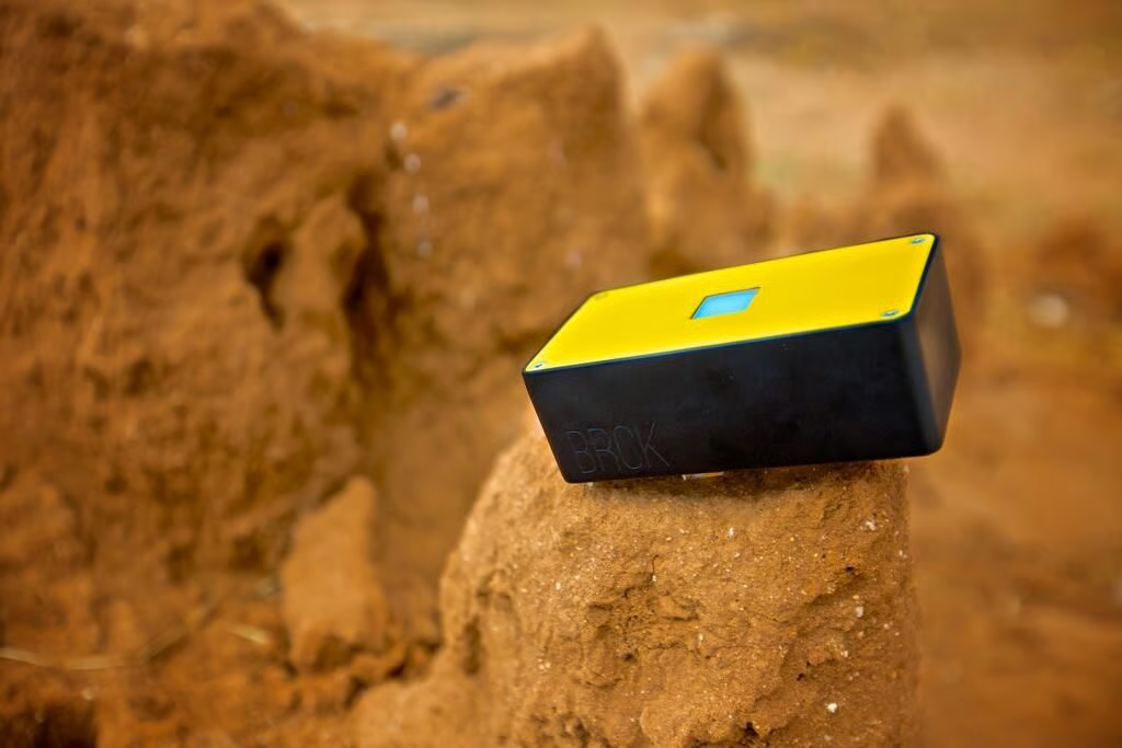
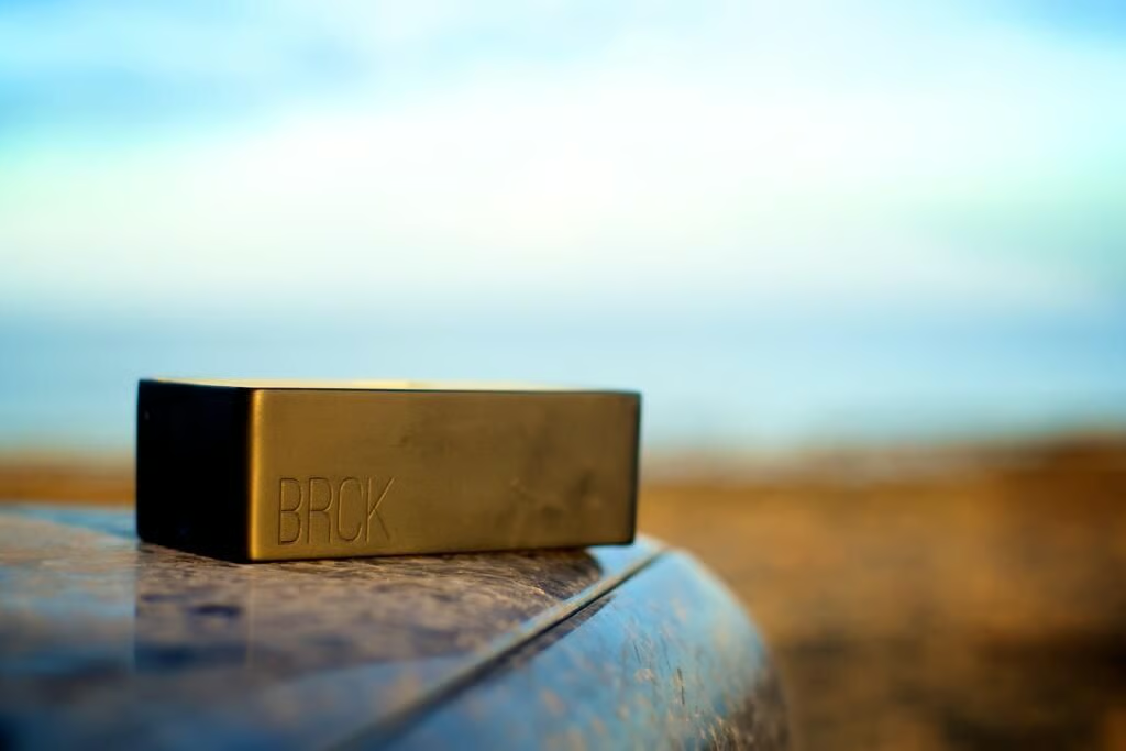
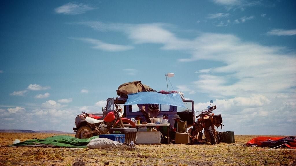
“If it works in African, it can work anywhere” is the motto for BRCK, a backup generator for the Internet.
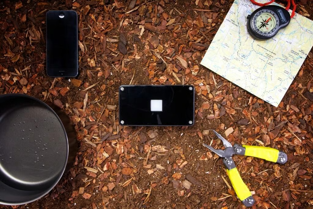
The BRCK can charge through solar power or a car battery. It can also charge other devices itself.
A Kenyan tech startup created interactive maps to locate reports of violence and natural disaster relief. Now, they’ve made BRCK–a router made to withstand the rugged, unreliable conditions of Africa.
BRCK is tested at Sibiloi National Park near Lake Turkana, Kenya.

Lyndsey Gilpin is a former Staff Writer for TechRepublic, covering sustainability and entrepreneurship. She's co-author of the book Follow the Geeks.


