This\r\ngallery is also available as a TechRepublic article.
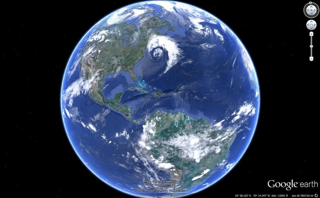
Google Earth has evolved from being a mere curiosity to\r\nbeing a tool that is commonly used in business. Google Earth has been used for\r\neverything from plotting demographic data to video production. Not surprisingly,\r\nthere are a number of add-ons available for this highly versatile tool. This\r\narticle discusses five such add-ons.
\r\n\r\nCredit: Images by Brien Posey for TechRepublic
\r\n\r\n
\r\n\r\n
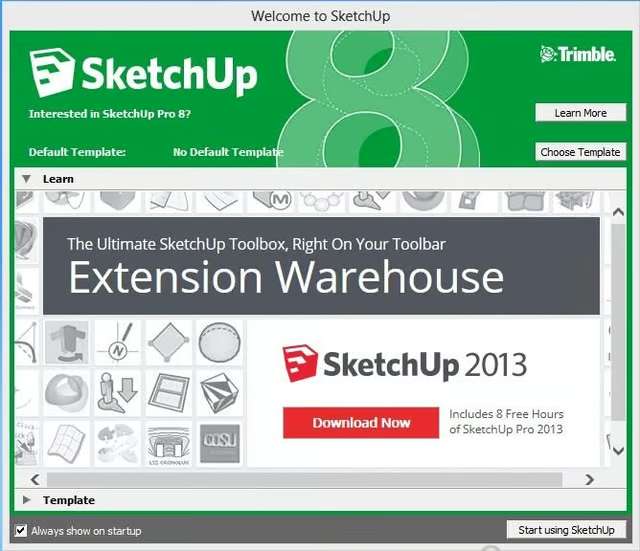
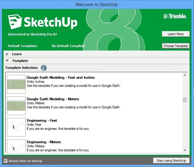
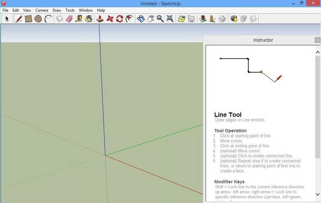
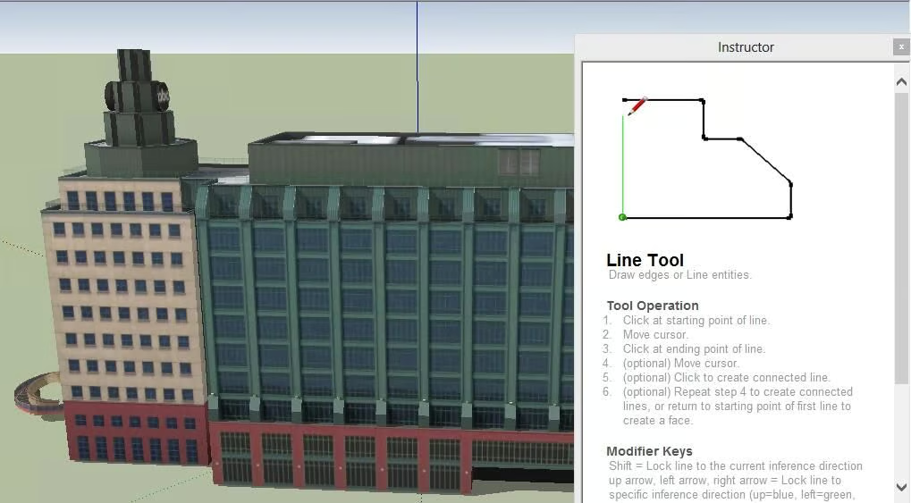
SketchUp\r\nis a free utility that allows you to create 3D models for Google Earth. The\r\nprogram is basically a CAD tool, and although it offers Google Earth support,\r\nit can be used to create other types of drawings and 3D models as well. Perhaps\r\none of the most useful features is that you can download 3D buildings and other\r\nobjects from an online library. Once you do, you can use the model in its\r\nexisting form or you can use the drawing tools to modify it.
\r\n\r\nCredit: Images by Brien Posey for TechRepublic
Credit: Images by Brien Posey for TechRepublic
Credit: Images by Brien Posey for TechRepublic
Credit: Images by Brien Posey for TechRepublic
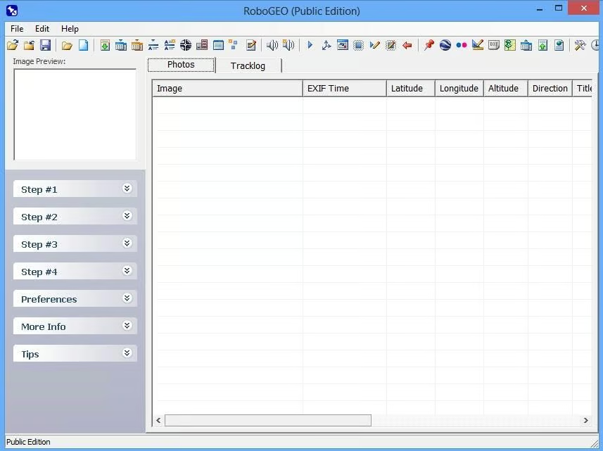
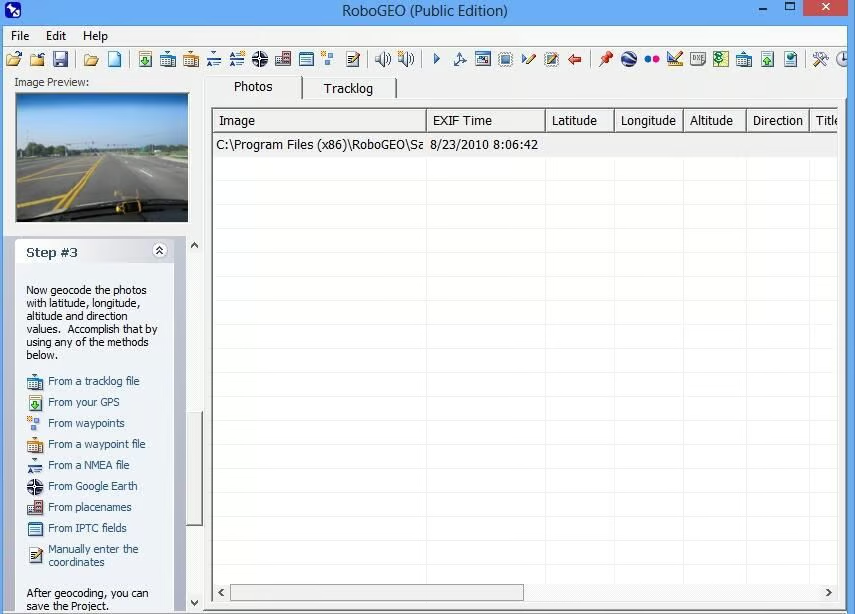
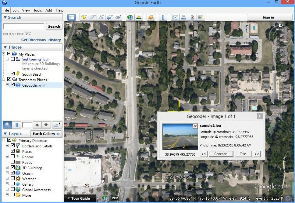
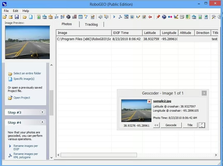
RoboGEO\r\nis a utility for geo tagging image files. Geotagging can be based on Google\r\nEarth, an NMEA file, a waypoint file, a track file, or any number of other\r\nsources. It is also possible to manually enter GPS information. The geo tagging\r\ndata is added directly to the file’s meta data and you are also given the\r\nopportunity to add a title to the image.
\r\n\r\nA personal license for\r\nRoboGEO sells for $79.99, but a free trial is available for download.
\r\n\r\nCredit: Images by Brien Posey for TechRepublic
Credit: Images by Brien Posey for TechRepublic
Credit: Images by Brien Posey for TechRepublic
Credit: Images by Brien Posey for TechRepublic
\r\n\r\n
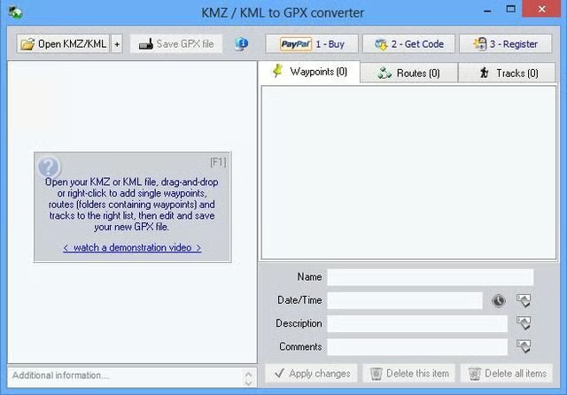
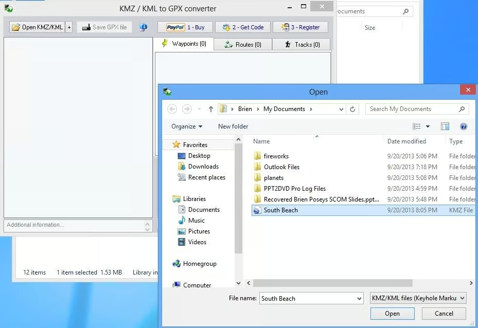
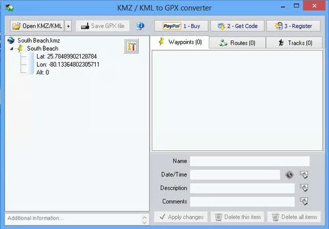
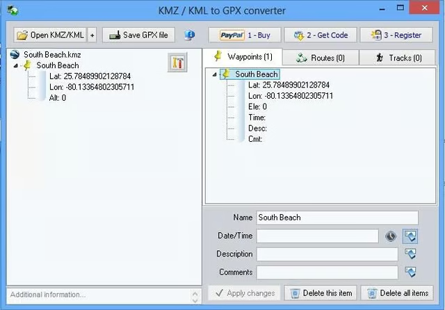
Google\r\nEarth KMZ or KML to GPS Converter is a tool that you can use to convert\r\nGoogle Earth data to a GPS compatible format (a .GPS file). The utility allows\r\nyou to import the KMZ or KML files that you create with Google Earth and then\r\nuse them to build waypoints, routes, or tracks. You can import KMZ files in any\r\norder and arrange the locations in the preferred order before exporting them.
\r\n\r\n
Google Earth KMZ or KML to GPS Converter sells for $20, but\r\nyou can perform ten free trial conversions.
\r\n\r\nCredit: Images by Brien Posey for TechRepublic
Credit: Images by Brien Posey for TechRepublic
Credit: Images by Brien Posey for TechRepublic
Credit: Images by Brien Posey for TechRepublic
\r\n\r\n
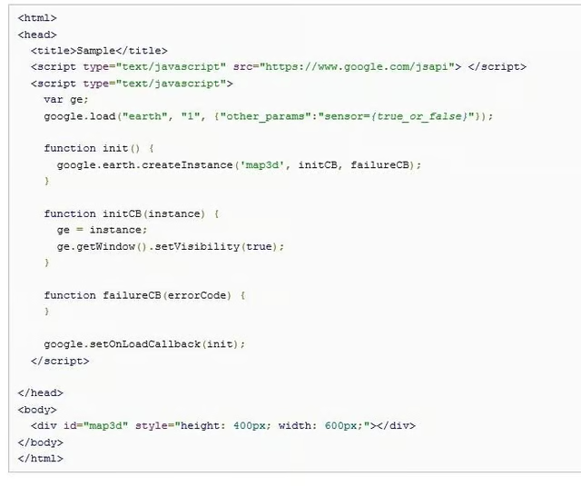
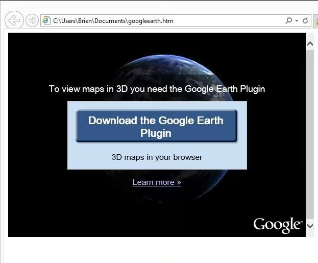
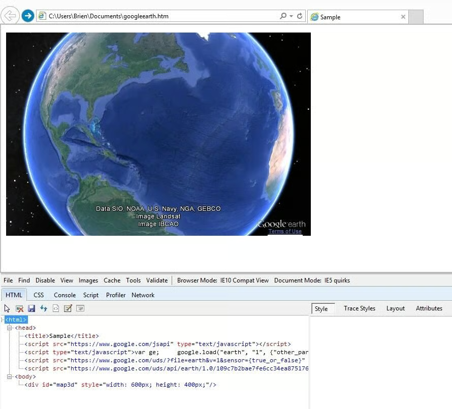
The Google\r\nEarth API is a free tool for building onto Google Earth. One of the best\r\nparts of the API is the Google Earth Plug-in. You can use this plug in to\r\ndisplay Google Earth (and any custom features) within a Web browser.
\r\n\r\nThe plug in seems to have\r\nproblems with Internet Explorer 10, but works fine in Internet Explorer 10\r\nCompatibility View. It is also worth noting that Google provides numerous code\r\nsamples that you can use to add Google Earth imagery to your Web site.
\r\n\r\nCredit: Images by Brien Posey for TechRepublic
Credit: Images by Brien Posey for TechRepublic
Credit: Images by Brien Posey for TechRepublic
\r\n\r\n
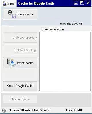
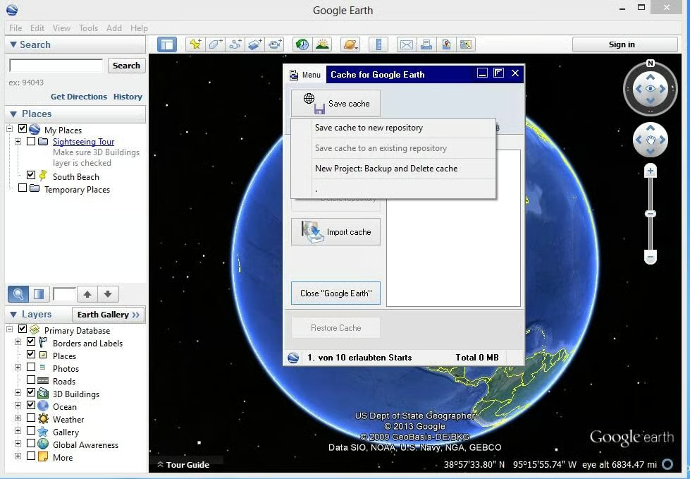
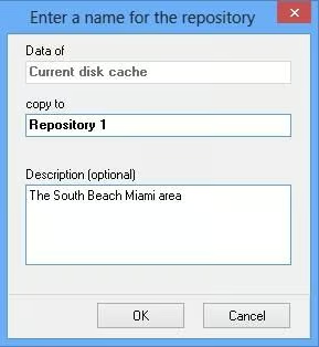
Cache\r\nfor Google Earth is a utility that allows Google Earth to be used while\r\nworking offline. Google Earth does offer a built in cache that can be used for\r\noffline use, but the cache’s contents can be a little bit unpredictable to say\r\nthe least. This utility allows you to save the cache contents while they are in\r\na predictable state and then retrieve them for later use.
\r\n\r\n
This utility will likely be useful to those who use Google Earth\r\noutside of their office. For example, I\r\nbuilt a drone that can be GPS controlled. The drone’s position is tracked\r\nthrough a specialized interface that uses Google Earth maps. The problem is\r\nthat when I am in the field, there is often no Wi-Fi link available for\r\ndownloading Google Earth imagery. For this type of application, Cache for\r\nGoogle Earth could potentially be used to make the imagery portable.
\r\n\r\nCache for Google Earth\r\nsells for $19.00, but a free trial is available for download.
\r\n\r\nCredit: Images by Brien Posey for TechRepublic
Credit: Images by Brien Posey for TechRepublic
Credit: Images by Brien Posey for TechRepublic

* 1988 - Started teaching myself about computers \ * 1992 - Mainframe programmer for an insurance company \ * 1993 - Network Administrator for a different insurance company \ * 1996 - Author for The Cobb Group \ * 1998 - Network Administrator for Fort Knox \ * 1999 - CIO for chain of hospitals \ * 2000 - Gave up the corporate rat race to work out of my home. I have been a full time technical author ever since. Visit my Web sites at http://www.brienposey.com and http://www.relevanttechnologies.com \


