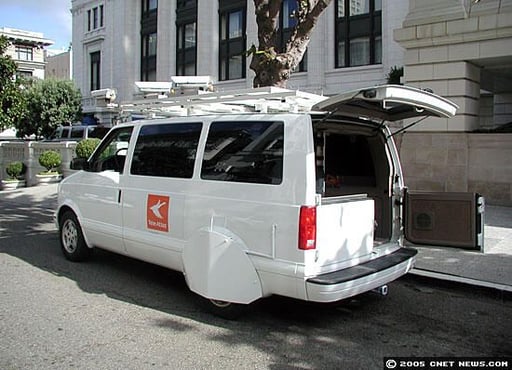
Tele Atlas provides data to companies involved with digital mapping and the like, such as Yahoo and Google. The information is used to ensure that maps are accurate and up to date. This Tele Atlas van is equipped with six video cameras on top and three servers inside for recording and storing street names and other data.
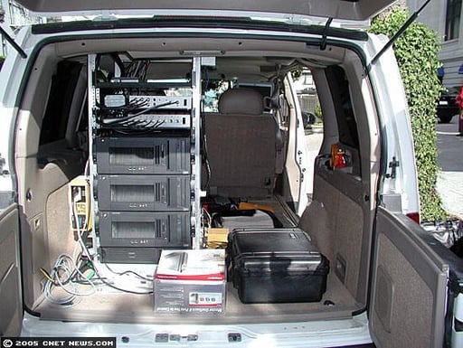
A view of the inside of the van reveals three custom-built computers with 3GHz IBM Pentium 4s; an Omnistar global positioning system unit; a heating unit for the video cameras; and an external hard drive for data backup.
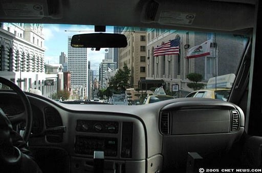
Putting the streets of San Francisco in their proper place.
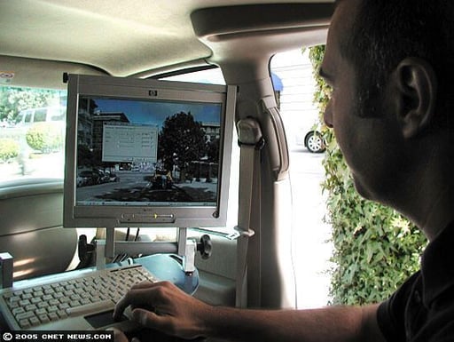
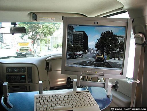
Tele Atlas local data collector Luca Comi operates the computer system that shows video camera shots of streets.
It’s not clear whether this unfortunate, tire-changing cabbie will be noted on a Yahoo or Google map, but he could be if necessary. For the record, the poor fellow carried out his grim task here.
Bill Detwiler is the Editor for Technical Content and Ecosystem at Celonis. He is the former Editor in Chief of TechRepublic and previous host of TechRepublic's Dynamic Developer podcast and Cracking Open, CNET and TechRepublic's popular online show. Previously, Bill was an IT manager in the social research and energy industries. He has bachelor's and master's degrees from the University of Louisville, where he has also lectured on computer crime and crime prevention.


